Does Geophysical Services Assist in Environmental Conservation?
10 Jul
2024
Highlights:
- Introduction
- Water and Land use management
- Pollution detection and remediation and natural hazard assessment
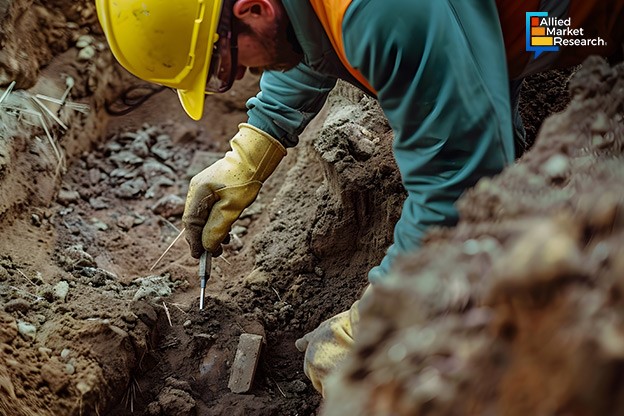
Geophysical services involve various techniques to image and analyze subsurface features without physical excavation. These methods use principles from physics, such as the behavior of electromagnetic fields, seismic waves, and gravitational forces, to map underground structures, detect anomalies, and measure the physical properties of the Earth's subsurface layers. The primary objectives of geophysical services in environmental conservation include tracing subsurface structures, detecting contaminants, assessing environmental impacts, and planning and monitoring remediation. This article discusses the significance of geophysical surveys in environmental conservation, highlighting their methods, applications, and contributions to sustainable practices.
Water and land use management
The geophysical services industry maps groundwater aquifers, determines subsurface water flow patterns, and assesses water quality. The services help identify potential contamination sources, monitor aquifer depletion rates, locate aquifers, map groundwater flow patterns, and evaluate water quality, which is essential for sustainable water resource management and ensuring access to clean water. They aid in identifying wetland boundaries, examining hydrological dynamics, and monitoring habitat health which eventually result in informed decision-making for water conservation efforts, ensuring reliable access to clean water and safeguard freshwater ecosystems against overexploitation and pollution by providing detailed subsurface information.
Facing challenges with its groundwater supply due to over-pumping and contamination concerns, geophysical surveys were implemented to map aquifer structures and identify potential recharge zones in Wichita, Kansas. They accurately located areas suitable for artificial recharging of aquifers, using methods like electrical resistivity imaging and seismic surveys. This data-driven approach enabled Wichita to implement targeted strategies for sustainable groundwater management, ensuring a reliable water supply for its growing urban population while safeguarding natural resources for future generations. Schlumberger and CGG collaborated in 2018 aiming to integrate their respective expertise in geophysics and reservoir characterization to develop advanced geological models for subsurface exploration and reservoir management. The partnership sought to innovate in seismic imaging and enhance hydrocarbon exploration and production capabilities worldwide.
Moreover, understanding the terrain's stability, potential hazards, and mineral resources enables planners to optimize land use for agriculture, construction, or conservation purposes. Minimizing risks enhances the efficiency of resource allocation, cultivating balanced landscapes for communities and ecosystems simultaneously. For instance, in 2016, the city of Vancouver, Canada, utilized geophysical services to assess soil conditions and map geological features before planning a major infrastructure project. They optimized construction methods and ensured the stability of structures, understanding the subsurface terrain. This approach allowed Vancouver to develop infrastructure sustainably while preserving natural landscapes and enhancing urban resilience.
Pollution detection and remediation and natural hazard assessment
Geophysical techniques find pollutants in soil and groundwater, facilitating targeted remediation strategies. Techniques like ground-penetrating radar (GPR), electromagnetic surveys, and seismic imaging can detect contaminants such as heavy metals, hydrocarbons, and industrial waste buried underground. They help in accurate site characterization and monitoring of pollutant migration over time, assuming the extent and depth of pollution plumes. For remediation, geophysical services guide the placement of monitoring wells and remediation systems, ensuring efficient cleanup strategies. They also help verify the effectiveness by tracking changes in subsurface conditions post-treatment.
Furthermore, they provide insights into subsurface geological structures, fault lines, and soil properties that influence hazards like earthquakes, landslides, and sinkholes, contributing to risk analysis and mitigation planning. Governments and communities can use this data to implement measures such as land-use zoning, infrastructure design improvements, and early warning systems to enhance resilience against natural disasters. In 2018, geophysical surveys in Nepal's Kathmandu Valley identified subsurface fault structures using seismic imaging. This assessment helped understand earthquake hazards by mapping active faults and shallow geological layers. The data-informed urban planning and building codes reduce seismic risks, enhancing the region's resilience to earthquakes.
In the upcoming years, innovation in sensor technology, data processing algorithms, and integration with Geographic Information Systems (GIS) are expected to enhance survey accuracy and resolution. In addition, efforts to reduce costs and increase accessibility are important for broader applications of the geophysical services industry. Cooperation among scientists, engineers, policymakers, and conservationists shall optimize service outcomes and inform effective environmental management strategies.
To sum up
Geophysical services are indispensable tools in environmental conservation, building newer perspectives of subsurface dynamics, detecting pollutants, and assessing ecological impacts. Whether it is groundwater mapping, pollution detection, or archaeological site prospection and natural hazard assessment, these methods support sustainable development and biodiversity conservation. Geophysicists and environmental scientists contribute to safeguarding ecosystems, enhancing resilience against environmental challenges, using advanced technologies and interdisciplinary approaches, thus promoting a harmonious balance between human development and nature conservation.
To get more tips and business suggestions on geophysical services, contact our experts today!

Koyel Ghosh
Author’s Bio- Koyel Ghosh is a blogger with a strong passion and enjoys writing in miscellaneous domains, as she believes it lets her explore a wide variety of niches. She has an innate interest in creativity and enjoys experimenting with different writing styles. A writer who never stops imagining, she has been serving the corporate industry for the last five years.
Avenue: Entire Library membership of Allied Market Research Reports at your disposal
- Avenue is an innovative subscription-based online report database.
- Avail an online access to the entire library of syndicated reports on more than 2,000 niche industries and company profiles on more than 12,000 firms across 11 domains.
- A cost-effective model tailored for entrepreneurs, investors, and students & researchers at universities.
- Request customizations, suggest new reports, and avail analyst support as per your requirements.
- Get an access to the library of reports at any time from any device and anywhere.
Related Post
Share on Social Media


-
How are Submarine Cables Transforming Global Connectivity with Enhanced User Experience?
-
Endoscopy Procedures: Transformations in Techniques and Applications
-
AI-Powered Video Analytics: How the Product Actually Works for enterprises
-
Painting Robots: Transforming Precision Coating and Creative Applications
-
Innovations in Pharmacovigilance Systems Advancing Patient Safety
-
Understanding Edge Security: Keeping Data Safe Near the Source
-
Exploring the Use and Advancements of 3D Laser Scanners in Professional Applications
-
Reinforcing Industrial Controls with Smarter Tools and Training