Airborne LiDAR: Changing the future trends of LiDAR technology industry
17 May
2019
The recent advancements in the LiDAR technology have increased the adoption of airborne LiDAR systems in forestry management & planning, urban/city modeling, flood modeling, and pollution modeling, cellular network planning, and transport planning. Moreover, the advent of collecting higher point densities by flying lower and slower to gather multiple data sets has widely accepted in the industry. To increase the use of airborne LiDAR in defense and civil engineering applications, the government organization are investing a huge amount of money in developing more accurate systems. According to Allied Market Research, the airborne LiDAR market is expected to gather $1.01 billion by 2025, registering a CAGR of 16.4% from 2018 to 2025.
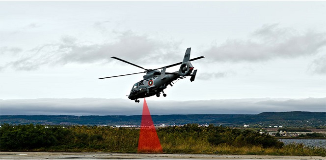
The airborne LiDAR scanners are now used to create a digital terrain model (DEM) where data can be collected using a drone, helicopter, or airplane, depending on the size of the surveyed area. Apart from creating DEM, airborne LiDAR scanners find application in power line inspection as these scanners can gather detailed information on power lines and distance between poles to identify potential risks.
Recently, Furgo, the provider of the geotechnical, subsea, survey, and geoscience services, used rapid airborne multibeam mapping system (RAMMS) to acquire more than 7,400 square kilometers of integrated, topographic & image, and high-resolution bathymetric data. The system was launched in August 2018 and is extremely efficient as it uses multibeam LiDAR technology. The technology has allowed the capability to achieve point densities which otherwise require vessel-based surveys. However, the RAMMS cut downs expenses and additional time consumption while remarkably reducing health and safety exposure.
Recently, the well-known 3D measurement and imaging company, Faro, joined its forces with Stormbee to provide airborne 3D scanning solution to quickly gather huge data for crash scene documentation, security pre-planning as well as military purposes. The solution includes the Faro Focus laser scanner with the Stormbee S series UAV along with Beeflex software suite. The solution can scan wide-area including highways, buildings, and train infrastructure. With the use of this novel solution, the data can be scanned in just hours without interruption traffic or even setting foot in the zone of interest. Additionally, this technology improves productivity by enabling users to capture complex environments where traditional equipment cannot get access. The collected data can be downloaded to FARO Zone for security pre-planning, crash reconstruction, and military reconnaissance.
As the LiDAR technology advances, the market seems to be moving toward improving functionality using multiple LiDAR instead of eliminating methods of acquisition. It is expected that in a couple of years, we would use advanced high-altitude, wide-area linear mode sensor with unique capabilities, owing to development in sensor technology. Moreover, along with airborne LiDAR, there would be development in low-altitude sensors for energy and transportation corridor mapping project. When it comes to airborne LiDAR, there no limit for new opportunities and thus, one thing is certain that the future holds more advanced LiDAR sensors that could map with utmost accuracy and precision.

Koyel Ghosh
Author’s Bio- Koyel Ghosh is a blogger with a strong passion and enjoys writing in miscellaneous domains, as she believes it lets her explore a wide variety of niches. She has an innate interest in creativity and enjoys experimenting with different writing styles. A writer who never stops imagining, she has been serving the corporate industry for the last five years.
Avenue: Entire Library membership of Allied Market Research Reports at your disposal
- Avenue is an innovative subscription-based online report database.
- Avail an online access to the entire library of syndicated reports on more than 2,000 niche industries and company profiles on more than 12,000 firms across 11 domains.
- A cost-effective model tailored for entrepreneurs, investors, and students & researchers at universities.
- Request customizations, suggest new reports, and avail analyst support as per your requirements.
- Get an access to the library of reports at any time from any device and anywhere.
Related Post
Share on Social Media


-
How are Submarine Cables Transforming Global Connectivity with Enhanced User Experience?
-
Endoscopy Procedures: Transformations in Techniques and Applications
-
AI-Powered Video Analytics: How the Product Actually Works for enterprises
-
Painting Robots: Transforming Precision Coating and Creative Applications
-
Innovations in Pharmacovigilance Systems Advancing Patient Safety
-
Understanding Edge Security: Keeping Data Safe Near the Source
-
Exploring the Use and Advancements of 3D Laser Scanners in Professional Applications
-
Reinforcing Industrial Controls with Smarter Tools and Training